The Maine Department of Inland Fisheries and Wildlife Fisheries Division must have a few techno-geeks looking for ways to enhance the fishing planning process for the region. And that’s an awesome thing. Thank you.
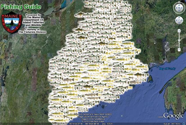
If anyone doesnt have Google Earth downloaded on their computer or GPS unit then just do it. Now, what the Division here did was take Google Earth and build a custom area with all kind of mapping overlays for everything from fishing stocking programs, bait and tackle shops, ponds and lakes filtered by fish species if you want, with depths, stocking information, native species info, specific regs, boat ramps, you name it… not to mention the standard Google Earth overlay selections for bounderies, roads…etc. and mapping and directions.
Just click on the image above and it will take you to the site. There is a link to download Google Earth if you need it and a link to launch it if you already have it. When you launch, (give it a minute–Google Earth is big), it will ride you right on in to Maine. On the left are the overlay options. Try checking off, for example, “Ponds and Lakes” (wait a few seconds for that to drop down), then select say “Brook Trout” or multiple selections if you want. The map will populate. Then, click on any pond or lake marker for more info. The layer selections are numerous.
In any case, the whole thing seems like a pretty good tool to add to the–hand scrawled map and directions on a piece of torn off twelve pack cardboard from the guy last night method—although not a complete substitute.

